
About

Georgian Bay Islands National Park is part of the Georgia Bay which is a body of water located to the northeast of the main body of Lake Huron. The national park sits in the southeastern part of the bay. The park covers an area of 5.2 square miles (13.5 sq km).
Whereas Lake Huron is a shared body of water between Michigan and Ontario, the Georgian Bay is entirely within the borders of Ontario. The bay extends 120 miles (190 km) long and reaches a width of 50 miles (80 km). The surface area covers 5,800 square miles (15,000 sq km) with an average depth of 150 feet (46 m).
The national park covers 63 islands that are scattered across the southeastern part of the bay along the shoreline of the bay. The largest of the islands is Beausoleil Island.
The 63 islands that comprise the national park area are part of a larger collection of about 30,000 islands scattered across the bay. The national park and larger collection of islands are all part of the UNESCO biosphere reserved known as Georgian Bay Littoral.
The national park and surrounding ecosystem sustain a number of wildlife species where sightings add to any adventure. Most people are interested in the mammal species and some of the more popular include beaver, black bear, bobcat, coyote, fox, lynx, moose, porcupine, raccoon, timber wolf, and white-tailed deer.
Rattlesnake is one of the surprising finds within the 33 different species of amphibians and reptiles. Although not renowned for birdwatching, the Georgian Bay Islands do have both nesting and migratory birds to observe while exploring the waterways.
The national park is only accessible by boat and the majority of activities are related to the water and navigating around and throughout the 63 islands of the national park.
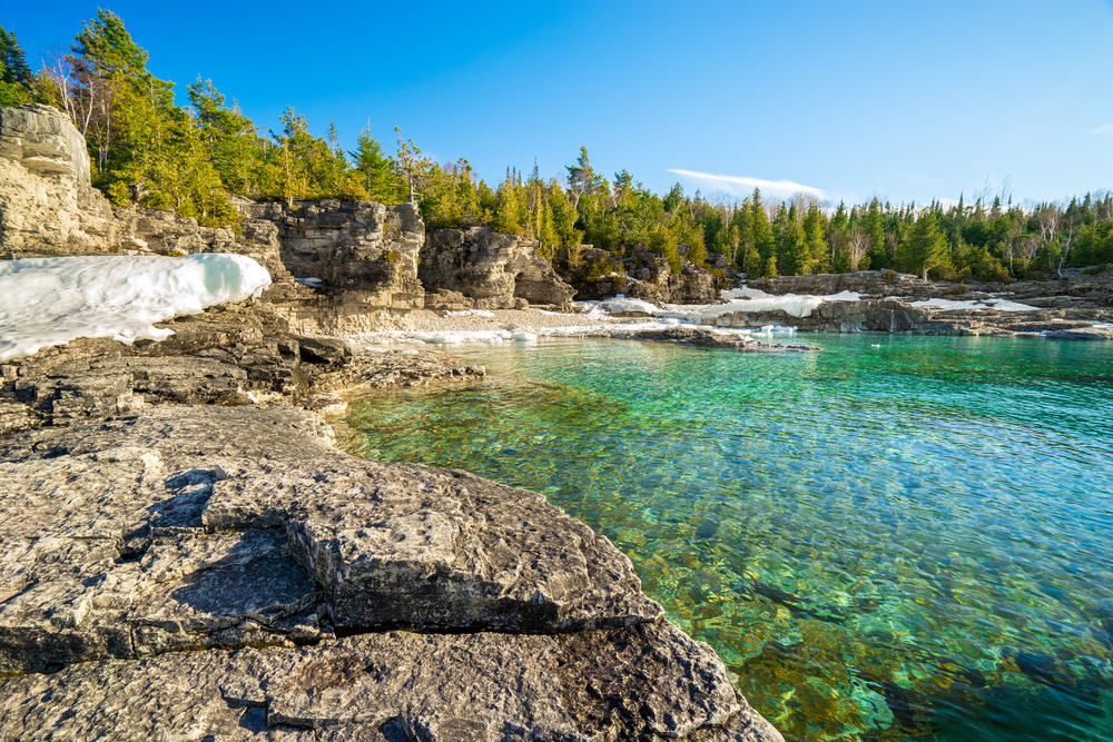
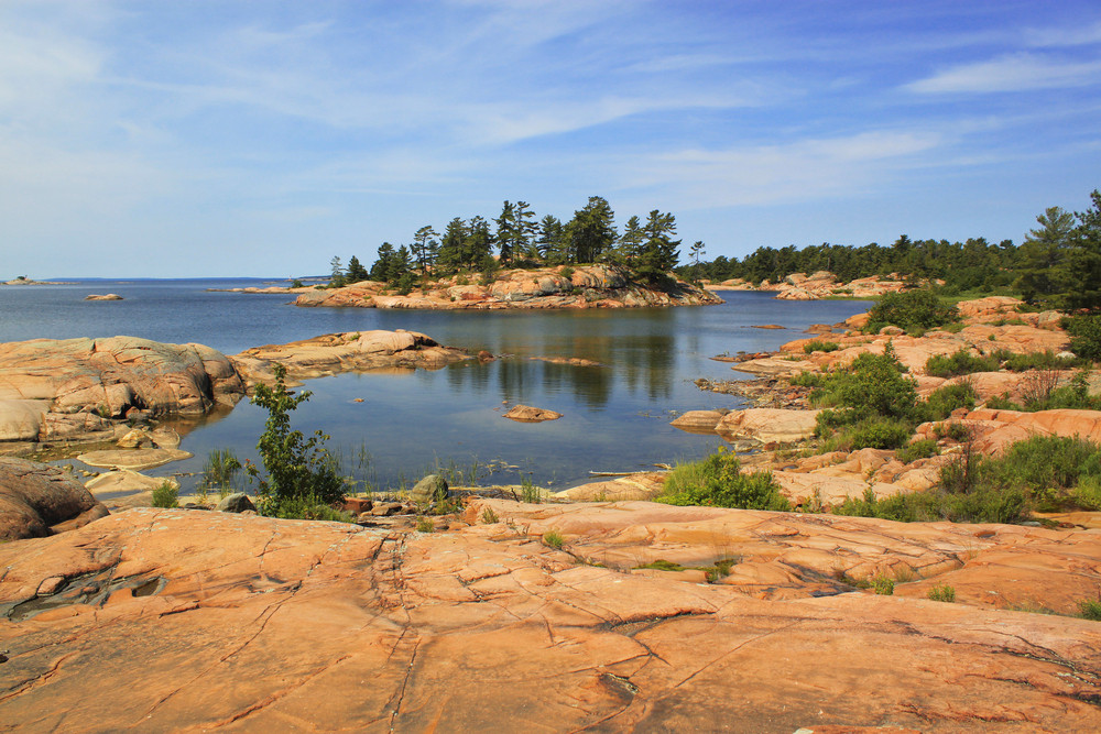
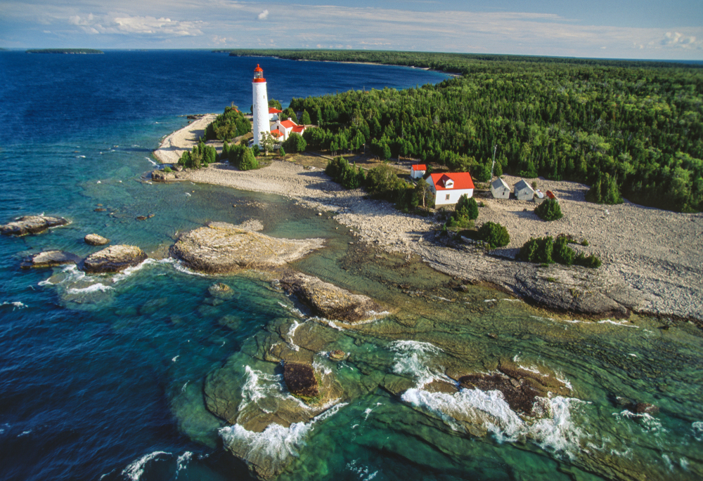
Photos


Things to See
 Georgian Bay is the largest freshwater archipelago in the world. As noted above, the surface area encompasses 5,800 square miles. The Georgian Bay is an extension of Lake Huron which resides solely in the province of Ontario, Canada.
Georgian Bay Islands National Park Trails
Georgian Bay Islands is more known for boating, kayaking, and related water activities. However, there are trails available to help you engage different facets of the nature afforded to those who explore the national park.
The hiking trails in the area vary between easy and moderate with both providing nice escapes into nature and views of the world’s largest freshwater archipelago.

Sources
- All Trails, Best Trails in Georgian Bay Islands National Park, https://www.alltrails.com/parks/canada/ontario/georgian-bay-islands-national-park, retrieved July 2020.
- Britannica, Georgian Bay Islands National Park, https://www.britannica.com/place/Georgian-Bay-Islands-National-Park, retrieved July 2020.
- Canadian Encyclopedia, Georgian Bay Islands National Park, https://thecanadianencyclopedia.ca/en/article/georgian-bay-islands-national-park, retrieved July 2020.
- National Geographic, Georgian Bay National Park, https://www.nationalgeographic.com/travel/parks/georgian-bay-islands-canada-park/, retrieved July 2020.
- National Geographic, National Parks of North America, Canada-United States-Mexico, National Geographic Society, 1995.
- Parks Canada, Georgian Bay Islands, https://www.pc.gc.ca/en/pn-np/on/georg, retrieved July 2020.
- Wiki Voyage, Georgian Bay Islands National Park, https://en.wikivoyage.org/wiki/Georgian_Bay_Islands_National_Park, retrieved July 2020.